Lost Treasure of Captain Calsmouth: Freeport's Pirate Most Foul
 Legend has it that Calsmouth's Cove and the Captain's treasure may be found buried beneath the ash of an archway.
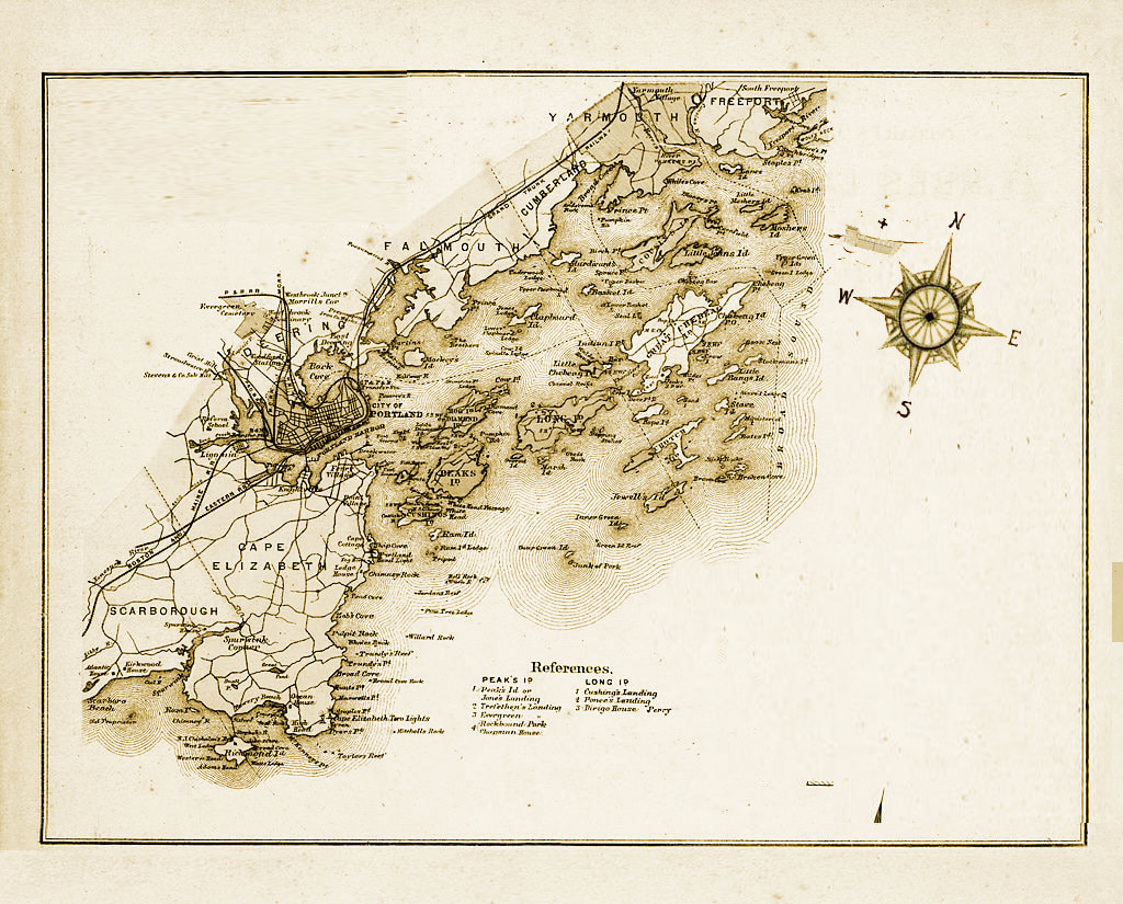
The town of Freeport, Maine was once a part of North Yarmouth called Harraseeket, after the Harraseeket River. First settled about 1700, it was set off and incorporated on February 14, 1789 as Freeport. It is probably named "from the openness of its harbor" (free from ice).
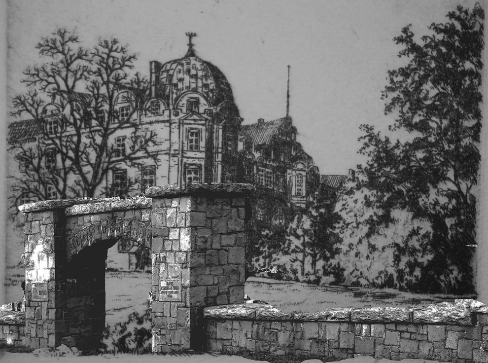
Freeport developed as five villages—Mast Landing, Porter's Landing, South Freeport, and Freeport Corner. The fifth village, known locally as Calsmouth's Cove was private territory controlled by the filthiest pirate of them all, Captain Calsmouth. Historians say that the Cove was marked by a beautiful archway, constructed by Captain Calsmouth's prisoners.
History has it that Captain Calsmouth sailed to Freeport with a ship filled with treasure in the mid 1800’s. Calsmouth oversaw the Cove until his tragic death in a duel between Calsmouth and his long lost brother, Sheelsy. Calsmouth, Sheelsy and all the treasures were burned to the ground and burried in ash. Legend has it that there are still riches to be found in the ruins, but be wary when searching for this treasure as legend says the riches are cursed. The only clue remaining is the historic arch, marking the entrance to Captain Calsmouth's territory.
Update - July 21, 2018
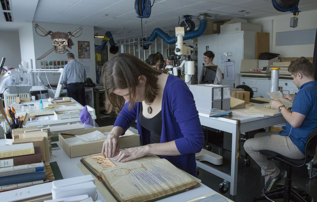
A fragment of a mysterious map penned nearly 300 years ago remains housed at the Freeport Historical Society despite an explicit instruction etched on its glass bottle time capsule to destroy it. The map fragments are being authenticated and logged by a team of volunteer students at the Freeport city call archive center.
Freeport's Pirate Most Foul, Calmouth Treasure unearthed?

No one knows why the map fragment, dated May 14, 1406, survived. But it is crystal clear why its author wanted the document burned at the recipient's earliest opportunity. It tells of treasure buried in the sleepy shopping town that now is know as the home of LL Bean. Unfortunately the complete story seems to be lost to New England lore as the carbon-dated hemp cloth is a small fraction of the full map. But the finding historically significant? The announcement made by the Bangor Daily News Thursday put a stranglehold on whatever tomfoolery LePage or Trump were causing. "Pirates of the Caribbean, try New England Jack Sparrow" spanned to top of the second run edition and delivered by the Cumberland USPS second shift postal team to all outlets.
At stake is what’s thought to be the most valuable shipwreck in the western hemisphere. When the Calsmouth's, ship name not identified as of yet, was sunk by the British Navy off the coast of New England, it was said to be carrying six years worth of accumulated gold, silver, emeralds and other riches from the New World destined for Spain. However, Freeport Historical Society’s Managing Director Ashton Nat Sonja said collapsing gold prices mean the treasure is probably worth a few billion less now.
BREAKING - May 21, 2021
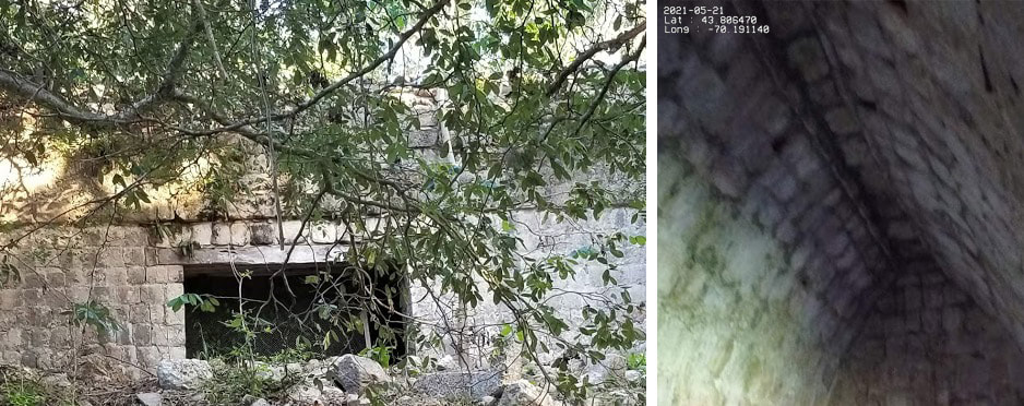
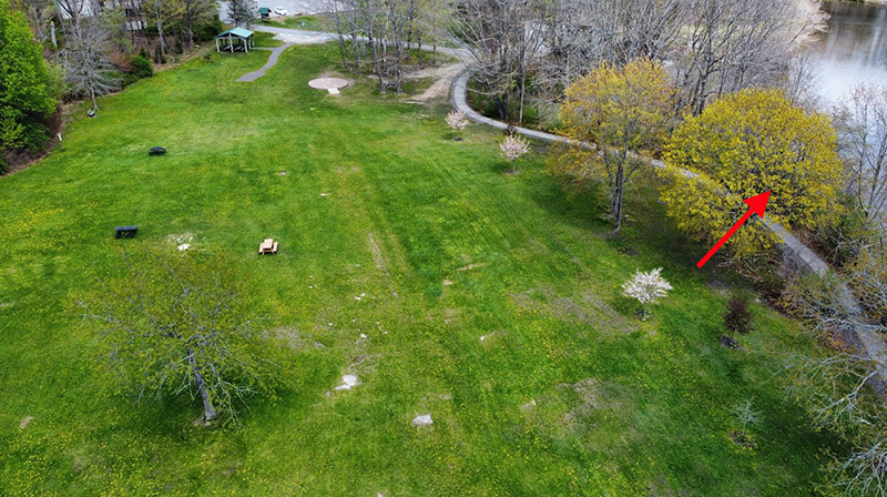
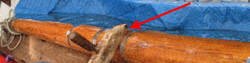
During an annual river bank clean up, a Yarmouth Parks & Recreation crew member discovered what appeared to be an old retaining wall behind the muddy brush. The impact of the discovery was apparent to idle joggers and picnic goers by the large cranes and industrial power washers being footed on the east bank of the Royal River. University of Massachusetts Amherst professor of Archeology provided two photos, “All I can say at this point is that the type of limestone unearthed down there is not native to Maine”. A long log was on muddy blue tarp with a small identification tag reading “Mast, metal-banded. Late 1700s. ‘Sheelsy’ burned into an open mortise”. Dr. R. J. Neandheo declined further comment. Full post
During an annual river bank clean up, a Yarmouth Parks & Recreation crew member discovered what appeared to be an old retaining wall behind the muddy brush. The impact of the discovery was apparent to idle joggers and picnic goers by the large cranes and industrial power washers being footed on the east bank of the Royal River. University of Massachusetts Amherst professor of Archeology provided two photos, “All I can say at this point is that the type of limestone unearthed down there is not native to Maine”. A long log was on muddy blue tarp with a small identification tag reading “Mast, metal-banded. Late 1700s. ‘Sheelsy’ burned into an open mortise”. Dr. R. J. Neandheo declined further comment. Full post